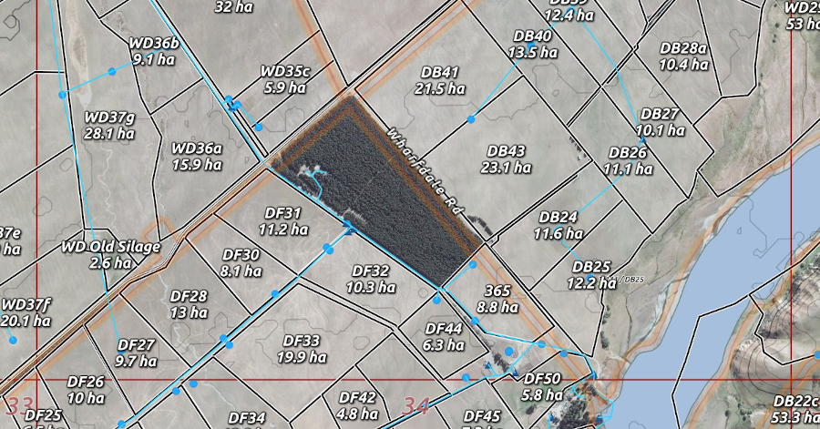
In today’s world of information at your fingertips it seams unreasonable to manage land without some form of map, a visual assistance that connects the physical geography to data for decision making. This assistance through the use of maps can be either dynamic or static, private or public, current information or a register from the past. In all cases it has to be flexible and simple enough so as to show relevant information to make the decisions you have to make in a more informed way.
In my experience as farm manager I have found that a good map always comes in handy in many circumstances, from planning or communicating a new fence line, either permanent or temporary with the team or contractor, planning or communicating a water distribution system by understanding the terrain and knowing the AMSL* of each trough or water-tank, understanding the land by quantifying warm and cold faces, managing invasive species, track maintenance, as a planning tool during grazing planning sessions knowing correct paddock size and a good estimate of feed available.
A good map will always assist you to make a better decision, allowing a quantified and holistic view of what you are managing. The support medium can be paper or digital, it should adapt to your workflow and always allow all the relevant parties to be informed.
*Height above mean sea level (AMSL) is the elevation on the ground.


