Base-maps

Base-map standard
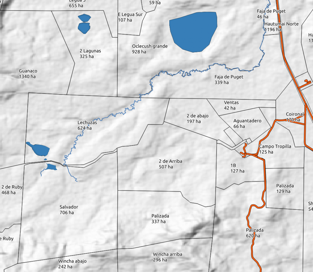
The one that you will likely carry around when in your car
€
300
per property up to 500ha *
-
Farm paddocks
-
Farm buildings & yards
-
Farm and Public roads
-
Rivers and Lakes
-
A3 & A4 farm-map to print
Click Here
* 0.01/ha thereafter
Information provided by landowner or manager and enhanced by working on satellite imagery.
Information provided by landowner or manager and enhanced by working on satellite imagery.

Base-map plus
The one that will be on the table at the planning sessions
€
500
per property up to 500ha *
-
All features of Base-map standard
-
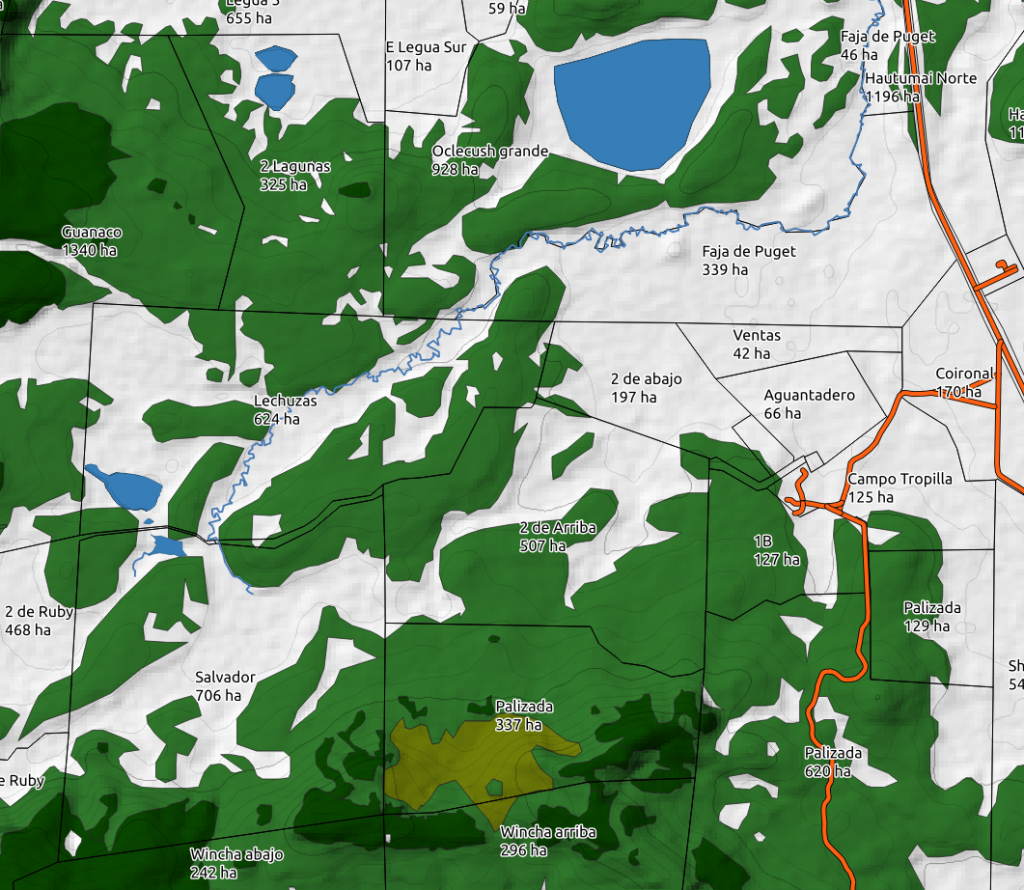
Land Topology analysis
-
Printed A3 wall farm-map
-
Effective grazeable area
Click Here
* 0.025/ha thereafter
Information provided by landowner or manager and enhanced by working on satellite imagery.
Information provided by landowner or manager and enhanced by working on satellite imagery.
popular

Base-map advanced
Enjoy the beauty of your land over a cup of coffee
€
1200
per property up to 500ha *
-
All features of Base-map plus
-
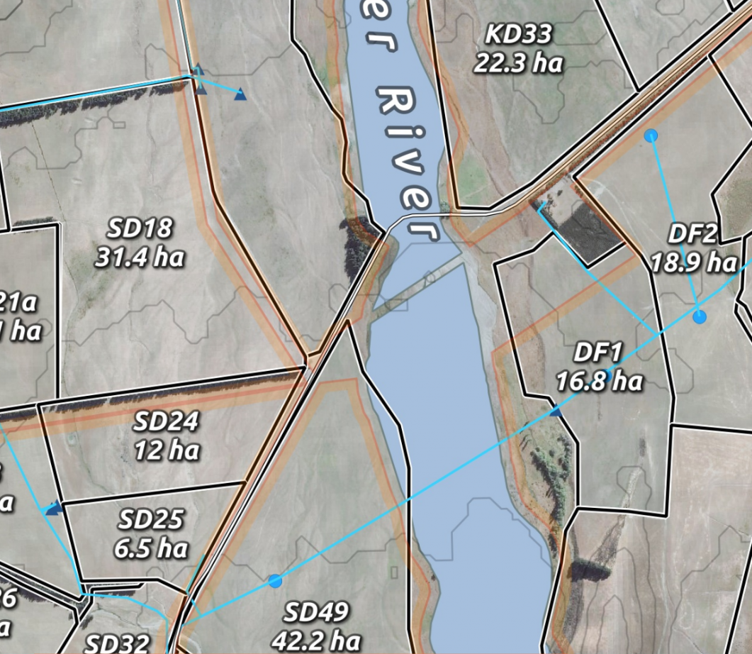
Farm MapBook in pdf format
-
Printed A0 wall farm-map
-
Fence length
-
Water distribution system if existent
-
Advanced topology analysis: slope/aspect/water trough height asl
-
Includes 6 month BioStat Base subscription
Click Here
* 0.05/ha thereafter
Requires an on-farm visit or as an alternative a considerable collaboration with the farm owner/manager to work on gathering the necessary information needed. This will be determined on a case by case basis.
* 0.05/ha thereafter
Requires an on-farm visit or as an alternative a considerable collaboration with the farm owner/manager to work on gathering the necessary information needed. This will be determined on a case by case basis.
premium

