Land Coverage determination through on farm visits
Printed A0 wall farm-map
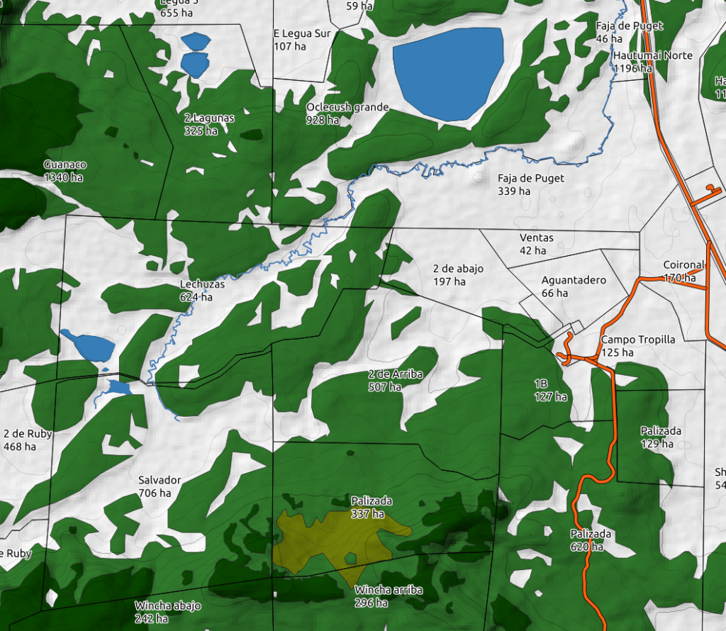
Effective grazeable area
Optimum stocking-rate determination
popular
Pasture and land monitoring
Update your resources inventory
$
0
04
per hectare
Monitor your lands to meet your regenerative/organic certifications requirements
Update condition of grasslands
Early identification of weeds encroachment and other problem areas
popular
Getting there with
Detailed analysis
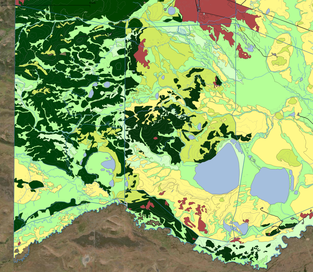
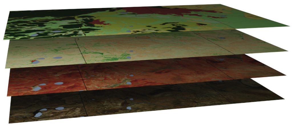
Producing a vegetation map involves a considerable amount of work.
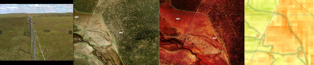
This is achieved through a combination of an on-farm survey and a detailed analysis of visual satellite/drone Imagery, IR/false color satellite imagery, BioStat analysis and georeferenced photos taken during the survey.
The combination of all this information together allows us to produce a detailed map of your property. This allows us to quantize the different vegetation catalogs existing on your land per paddock.
This type of information allows you to make better decisions on new subdivisions or relocation of existing ones. It will also allow you for a better adjustment of your stocking rates.
Working on a computer screen after the field survey, land photograph on the left, Visible bands, IR enhanced image and BioStat analysis of different times of the year all work together to produce a comprehensive vegetation map.